| Language of origin | Athabaskan-Eyak-Tlingit, Na-Dene language family Tŝilhqot’in language |
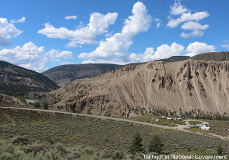
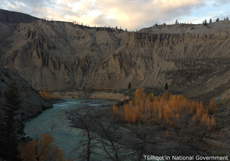
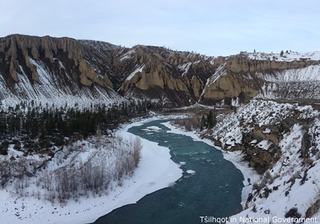
| Feature Type: | Canyon (2) - Deep, narrow valley with precipitous walls. |
| Status: | Not official |
| Other Names: | Farwell CanyonOfficial |
| Relative Location: | Along Chilcotin River, between Big Creek and Fraser River, Lillooet Land District |
| Tags: | Indigenous |
| Latitude-Longitude: | 51°49'59"N, 122°33'58"W at the approximate centre of this feature. |
| Datum: | WGS84 |
| NTS Map: | 92O/15 |
|
Origin Notes and History:
|
The Tŝilhqot’in name "Nagwentled" roughly translates to 'landslides across the river' describing the frequent mass-wasting in that canyon. Tŝilhqot’in elders describe the canyon long ago (before the landslides) being so narrow that the bravest could jump across (Advice from Tŝilhqot’in National Government, 2018). Source: BC place name cards & correspondence, and/or research by BC Chief Geographer & Geographical Names Office staff. |
|
For countless generations, "Nagwentled" has been a major gathering place for the Tŝilhqot’in during the ts’eman (sockeye salmon) & jeŝ (spring salmon) runs because the canyon provides the perfect rock formations to facilitate dip-net fishing (Advice from Tŝilhqot’in National Government, 2018). Source: BC place name cards & correspondence, and/or research by BC Chief Geographer & Geographical Names Office staff. |