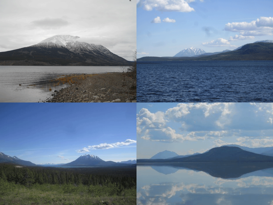
| Language of origin | Athabaskan-Eyak-Tlingit, Na-Dene language family Tlingit language |
| Feature Type: | Mount - Variation of Mountain: Mass of land prominently elevated above the surrounding terrain, bounded by steep slopes and rising to a summit and/or peaks. ["Mount" preceding the name usually indicates that the feature is named after a person.] |
| Status: | Official |
| Other Names: | Mount Minto |
| Name Authority: | BC Geographical Names Office |
| Relative Location: | W side of Atlin Lake, W of Mount Hitchcock and Black Mountain, NW of Atlin (community), Cassiar Land District |
| Tags: | Indigenous |
| Latitude-Longitude: | 59°56'26"N, 133°54'02"W at the approximate centre of this feature. |
| Datum: | WGS84 |
| NTS Map: | 104N/13 |

|
Origin Notes and History:
|
"Mount Minto" adopted 31 March 1924 in the 18th Report of the Geographic Board of Canada, as labelled on Geological Survey sheet 742, Atlin Mining District, 1902. Re-approved 6 May 1947 on 104NW, and 4 October 1951 on 104N. Official name changed to K’iyán Mountain 22 March 2023 on 104N/13 as requested by Taku River Tlingit First Nation. K’iyán is the traditional and ancestral Tlingit name. Source: BC place name cards & correspondence, and/or research by BC Chief Geographer & Geographical Names Office staff. |
|
K’iyán Mountain is the Tlingit name for this mountain, which translates to “Hemlock grows around the bottom”, which describes an unusual natural feature of the mountain as hemlocks do not normally grow in this area. Hemlocks are a culturally significant resource, and were traditionally used to make clan houses of the Tlingit people, particularly the Yanyeidí (wolf) clan (advice from Taku River Tlingit First Nation, 2016). Source: included with note |
|
For more information, please visit the Taku River Place Names website: http://trt.geolive.ca/map.html. Source: included with note |

