| Language of origin | Salishan language family Nłeʔkepmxcín language |
| Feature Type: | Village (1) - A populated place with legally defined boundaries, incorporated as a village municipality under the provincial Municipal Act. |
| Status: | Not official |
| Other Names: | LyttonOfficial |
| Relative Location: | At junction of Fraser and Thompson Rivers, Kamloops Division Yale Land District |
| Tags: | Indigenous |
| Latitude-Longitude: | 50°13'51"N, 121°34'52"W at the approximate location of the Municipal Hall. |
| Datum: | WGS84 |
| NTS Map: | 92I/4 |
|
Origin Notes and History:
|
This was once the site of an [Indigenous] village called Camchin, meaning approximately "crossing over". The short-lived Hudson's Bay Company's Fort Dallas was also located here. Named Lytton in 1858 by Governor Douglas, after Sir Edward Bulwer-Lytton (1803-1873), Colonial Secretary at the time the village was established. Source: BC place name cards, or correspondence to/from BC's Chief Geographer or BC Geographical Names Office |
|
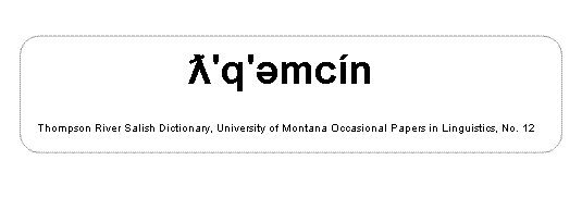
"Camchin" is not the aboriginal name. Rather, it is an anglicization of the true aboriginal name, which most English speakers could not pronounce. The true name is ƛ'q'əmcín. This can be found in the entry for "Lytton" in the Nlaka'pamux dictionary: (Thompson, Laurence C. and M. Terry Thompson (1996) Thompson River Salish Dictionary. Missoula, Montana: Linguistics Laboratory, University of Montana. (University of Montana Occasional Papers in Linguistics, No. 12).) [ information provided September 2014 by Bill Poser.] Source: BC place name cards & correspondence, and/or research by BC Chief Geographer & Geographical Names Office staff. |