

| Language of origin | combination |
| Feature Type: | Lake - Inland body of standing water. |
| Status: | Not official |
| Other Names: | Teẑtan Biny, Fish LakeOfficial |
| Relative Location: | E of Nemaiah Valley (locality), N of Taseko Lakes , Lillooet Land District |
| Latitude-Longitude: | 51°27'02"N, 123°36'37"W at the approximate centre of this feature. |
| Datum: | WGS84 |
| NTS Map: | 92O/5 |
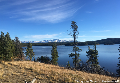
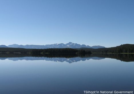
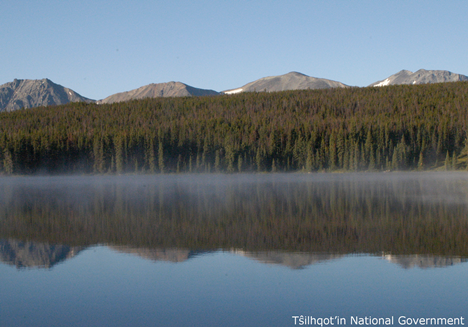
|
Origin Notes and History:
|
Fish Lake was adopted 20 October 1981 on 92O/5, as identified in Fish & Wildlife Branch files. Source: BC place name cards & correspondence, and/or research by BC Chief Geographer & Geographical Names Office staff. |
|
"Teẑtan Biny" is a Tŝilhqot’in proper name, having been in use for so long that a direct English translation is difficult. It probably refers to how the westerly winds sweep up the eastern hillside of the Dasiqox (Taseko River) valley and blow above this area. The lake and the area around it are also often referred to simply as “Teẑtan,” as “biny” means “lake.” (advice from Tŝilhqot’in National Government, 2026). Source: included with note |
|
The traditional Tsilhqot'in name is Teztan Biny. So-identified in 2009/10 documents associated with Taseko Mining Company's "Prosperity" gold-copper mine proposal in this location. Source: BC place name cards & correspondence, and/or research by BC Chief Geographer & Geographical Names Office staff. |