| Language of origin | Athabaskan-Eyak-Tlingit, Na-Dene language family Tlingit language |
| Feature Type: | Island - Land area surrounded by water or marsh. |
| Status: | Official |
| Other Names: | Third Island |
| Name Authority: | BC Geographical Names Office |
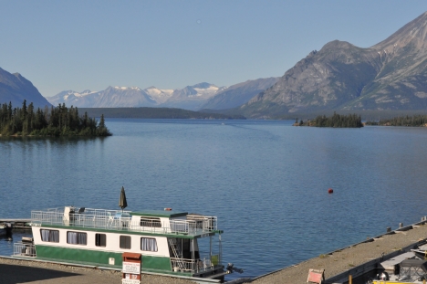
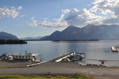
| Relative Location: | In Atlin Lake, just NE of N end Teresa Island, Cassiar Land District |
| Tags: | Indigenous |
| Latitude-Longitude: | 59°34'05"N, 133°43'40"W at the approximate centre of this feature. |
| Datum: | WGS84 |
| NTS Map: | 104N/12 |
| Related Maps: |
104N 104N/12 |
|
Origin Notes and History:
|
"Third Island" adopted 7 May 1956 on 104N/12E. Daatgaadláaḵ X'áat'i made the official name 28 July 2023 on 104N/12, as requested by Taku River Tlingit First Nation. Daatgaadláaḵ X'áat'i is the traditional and ancestral Tlingit name (advice from Taku River Tlingit, 2016). Source: BC place name cards & correspondence, and/or research by BC Chief Geographer & Geographical Names Office staff. |
|
Located in Taku River Tlingit First Nation traditional territory, the Tlingit name describes a significant event in the history of the Taku River Tlingit people, the death of one of their prominent leaders and his memorial through burial on this island (advice from Taku River Tlingit, 2016). Source: included with note |
|
"Daatgaadláaḵ was the name of a Yanyeidí (wolf clan) medicine man who died on the way to Wéinaa (Atlin), he was buried on this Island, which is named after him" (advice from Taku River Tlingit, 2016). Source: included with note |
|
For more information, please view the Taku River Place Names website: http://trt.geolive.ca/map.html Source: included with note |