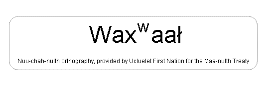
Waxwaal
[wha whal]
| Language of origin | Wakashan language family Nuu-chah-nulth language |
| Feature Type: | Beach - Gently sloping shore of unconsolidated material along the margins of a sea, lake, or river. |
| Status: | Official |
| Name Authority: | BC Geographical Names Office |
| Relative Location: | N end of Stuart Bay, SE end of Ucluelet Inlet just S of Hitacu, Clayoquot Land District |
| Tags: | Indigenous |
| Latitude-Longitude: | 48°56'04"N, 125°31'08"W at the approximate centre of this feature. |
| Datum: | WGS84 |
| NTS Map: | 92C/13 |
|
Origin Notes and History:
|
Waxwaal (beach) adopted 1 April 2011, per the provisions of the Maa-nulth Treaty. Source: BC place name cards, files, correspondence and/or research by BC Chief Geographer/Geographical Names Office. |
|
"Place to fart" (Ucluelet First Nation, December 2010). Also known locally as Browns Beach. Google tag: Fart on beach, peee yew! Source: included with note |