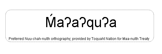
Macoah
[ma ah koah]
| Language of origin | Wakashan language family Nuu-chah-nulth language |
| Feature Type: | Former First Nation Village - A place formerly inhabited by First Nations' people, with no current population or that is usually uninhabited. |
| Status: | Official |
| Name Authority: | BC Geographical Names Office |
| Relative Location: | NW side of Barkley Sound just N of mouth of Maggie River, Clayoquot Land District |
| Tags: | Indigenous |
| Latitude-Longitude: | 48°59'17"N, 125°23'21"W at the approximate population centre of this feature. |
| Datum: | WGS84 |
| NTS Map: | 92C/14 |
|
Origin Notes and History:
|
Macoah (Former First Nation Village) adopted 1 April 2011, per the provisions of the Maa-nulth Treaty. Source: BC place name cards, files, correspondence and/or research by BC Chief Geographer/Geographical Names Office. |
|
Macoah reserve. "The name means 'house on the point' referring to a longhouse that was here in the old days." (advice from Toquaht Elder Anne Mack, shared November 2010) Source: included with note |