| Language of origin | Wakashan language family Nuu-chah-nulth language |
| Feature Type: | Mountain - Mass of land prominently elevated above the surrounding terrain, bounded by steep slopes and rising to a summit and/or peaks. |
| Status: | Official |
| Name Authority: | BC Geographical Names Office |
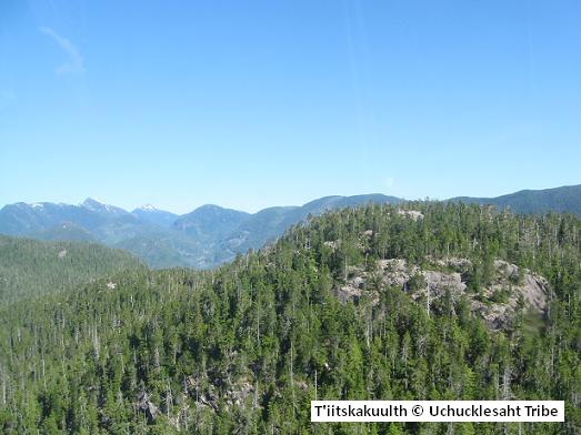
| Relative Location: | In the Thunderbird's Nest (T'iitsk'in Paawats) Protected Area, W side of Hucuktlis Lake, just N of head of Uchucklesit Inlet, Clayoquot Land District |
| Tags: | Indigenous |
| Latitude-Longitude: | 49°05'44"N, 125°05'20"W at the approximate centre of this feature. |
| Datum: | WGS84 |
| NTS Map: | 92F/3 |
|
Origin Notes and History:
|
T'iitskakuulth (mountain) adopted 1 April 2011, per the provisions of the Maa-nulth Treaty. Source: BC place name cards, files, correspondence and/or research by BC Chief Geographer/Geographical Names Office. |
|
One of many important features within the Thunderbird's Nest (T'iitsk'in Paawats) Protected Area. The Uchucklesaht name is T'iitskakuulth or Titskakuulth, meaning "Thunder Face Mountain" (T'iitskin Paawats Study Report - excerpts provided by Uchucklesaht Tribe Communications Coordinator, September 2010). The name means Thunder Face Mountain or "burnt face" referring to the colour of the rock. (Uchucklesaht Tribe, December 2010). Source: included with note |