| Language of origin | Tsimshianic language family Nisg̲a’a language |
| Feature Type: | River - Watercourse of variable size, which has tributaries and flows into a body of water or a larger watercourse. |
| Status: | Official |
| Other Names: | Iknouk River |
| Name Authority: | BC Geographical Names Office |
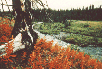
| Relative Location: | Flows SW into lower Nass River, between Laxgalts'ap (formerly Greenville) and Gingolx (formerly Kincolith), N of Prince Rupert, Cassiar Land District |
| Tags: | Indigenous |
| Latitude-Longitude: | 55°00'21"N, 129°48'47"W at the approximate mouth of this feature. |
| Datum: | WGS84 |
| NTS Map: | 103P/4 |
|
Origin Notes and History:
|
Iknouk River adopted 6 August 1953 on 103 P, not Iknouk Creek as labelled on BC Lands' map 3M, 1929. Form of name changed to Xnukw (River) per Nisga'a Treaty, Appendix F-3, effective 11 May 2000. Source: BC place name cards, or correspondence to/from BC's Chief Geographer or BC Geographical Names Office |
|
"Place where spear (spring salmon)....is the name of this territory as well as its tributary, situated above Ksi Gingolx and draining into Lisims at Wil Xts'ihanx." The adaawak/story here is about Wiit'ax Daaw, a young man who once fished at a place where there is a big rock situated at the centre of the river mouth. He hooked a large spring salmon by the tail and got pulled out to sea because he could not release his hands from the handle of his spear. A law was then made: "Never should anyone club the spring salmon on the head after catching it, for fear it will put a curse on you." No one has held the name Wiit'ax Daaw ever since. Source: Nisga'a Tribal Council / Ayuukhl Nisga'a Department, Aiyansh BC |