Cottonwood River
| Language of origin | English language |
| Feature Type: | River - Watercourse of variable size, which has tributaries and flows into a body of water or a larger watercourse. |
| Status: | Official |
| Name Authority: | BC Geographical Names Office |
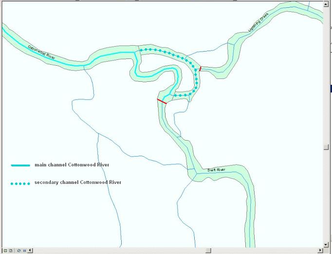
| Relative Location: | Flows NW then SW into Fraser River, just N of Quesnel, Cariboo Land District |
| Latitude-Longitude: | 53°06'59"N, 122°36'40"W at the approximate mouth of this feature. |
| Datum: | WGS84 |
| NTS Map: | 93G/2 |
| Related Maps: |
93G/1 93G/2 |
|
Origin Notes and History:
|
Adopted 28 April 1936 on BC Lands' map 3G, as labelled on Trutch's 1871 map of BC, and on BC Lands' map 1G, 1916 etc, and as identified in the Lightning Creek entry in the 18th Report of the Geographic Board of Canada, 31 March 1924. Source: BC place name cards, or correspondence to/from BC's Chief Geographer or BC Geographical Names Office |
|
Lightning Creek and Swift River converge to become the Cottonwood River (ie. head or source of Cottonwood River = mouth or downstream extremity of Swift River). Source: BC place name cards, correspondence and/or research by BC Chief Geographer & Geographical Names Office staff. |