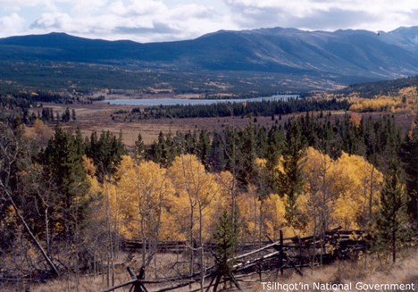
Tsuniah Lake
| Feature Type: | Lake - Inland body of standing water. |
| Status: | Official |
| Other Names: | Ts'uniʔad Biny |
| Name Authority: | BC Geographical Names Office |
| Relative Location: | Expansion of Tsuniah Creek, East of North end of Tŝilhqox Biny (lake), Range 2 Coast Land District |
| Latitude-Longitude: | 51°32'27"N, 124°05'42"W at the approximate centre of this feature. |
| Datum: | WGS84 |
| NTS Map: | 92N/9 |
|
Origin Notes and History:
|
Adopted 2 December 1924 on 92O/9 as establish on BC Department of Lands Map 1G, 1916, name confirmed in the 1930 Gazetteer of Canada. Source: BC place name cards & correspondence, and/or research by BC Chief Geographer & Geographical Names Office staff, File T.2.65. |
|
Based on a Chilcotin [ ] name meaning ‘spruce trees standing in a row.’ Source: Akrigg, Helen B. and Akrigg, G.P.V; "British Columbia Place Names"; Sono Nis Press, Victoria 1986 /or University of British Columbia Press 1997, page 274. |
|
The lake may have been known as "Angers Lake" (informaiton from name card. Source: BC place name cards & correspondence, and/or research by BC Chief Geographer & Geographical Names Office staff. |