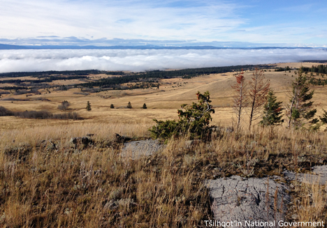
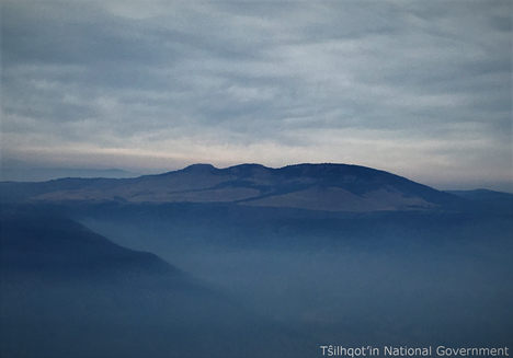
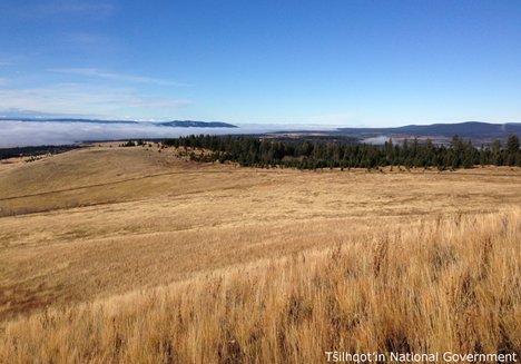
Bald Mountain
| Feature Type: | Mountain - Mass of land prominently elevated above the surrounding terrain, bounded by steep slopes and rising to a summit and/or peaks. |
| Status: | Official |
| Other Names: | Nen Nalmelh |
| Name Authority: | BC Geographical Names Office |
| Relative Location: | N of junction of Big Creek and Chilcotin River, SW of Williams Lake (city), Lillooet Land District |
| Latitude-Longitude: | 51°54'04"N, 122°39'58"W at the approximate centre of this feature. |
| Datum: | WGS84 |
| NTS Map: | 92O/15 |
|
Origin Notes and History:
|
Adopted 5 August 1958 on 92 O, as labelled on BC Reference map 27B (date/title not cited), and on BC map 3F, 1934. Source: BC place name cards, or correspondence to/from BC's Chief Geographer or BC Geographical Names Office |